 Catàleg local de Mallorca
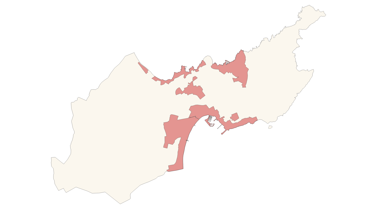
Ajuntament d'Alcúdia
Type of resources
Available actions
Municipios
INSPIRE themes
Keywords
Contact for the resource
Provided by
Years
Formats
Representation types
Service types
Scale
-
Data set that contains the types of qualifications of the urban and rustic land of the town of Alcúdia, building conditions, cataloged elements and old town. Scale 1: 1,000. The reference system: ETRS89. Projection system: UTM spindle 31. Storage format: DGN i SHP.
-

Data set that contains the heritage catalog of the town of Alcúdia, approved with prescriptions, with the regulations of Alcúdia: historic center, civil architecture, monumental sculpture, religious architecture, military architecture, industrial architecture, natural spaces, ethnological elements and archaeological sites. Scale 1: 1,000. The reference system: ETRS89. Projection system: UTM spindle 31. Storage format: DGN i SHP.
-
Data set containing the addresses of the urban center of Alcúdia and a few kilometers from the rustic area of the municipality. Cartography was extracted from the Cartociudad project of 2012, a state project that collects all spatial information related to directions and roads. The AD.Addresses layer is a layer of points and contains the addresses or portal numbers and various attributes that follow the Cartociudad data model and INSPIRE. Scale 1: 2,000. The reference system: ETRS89. Projection system: UTM fus 31. Storage format: PostgreSQL.
-
Data set of the subject Using the soil of INSPIRE, generated from the cartography of the Subsidiary Standards of Alcúdia, approved in 2002. It consists of three layers: Spatial plan, Zoning elements and Supplementary regulation. The data model and the symbology of the data set follow the specifications of the theme of Annex III of the European Directive INSPIRE, Land use, specifically of the scheme Planned land use. Urban elements are digitized at 1: 1,000 scale and rustic elements, at 1: 5,000 scale. The reference system: ETRS89. Projection system: UTM fus 31. Storage format: PostgreSQL.
-
Data set containing elements and areas protected by municipal legislation. The protection is provided by the Subsidiary Regulations of the municipality of Alcúdia in 2002. The Protected layer. Sites recognize all protected elements (deposits, mills, possessions, natural areas, etc.). We also find several layers according to the type of Designation, Scheme of Designation and Protection Classification. Urban elements are digitized at 1: 1,000 scale and rustic elements, at 1: 5,000 scale. The reference system: ETRS89. Projection system: UTM fus 31. Storage format: PostgreSQL.
-
Cartography of the toponymy of the municipality of Alcúdia. The names refer to the topics of the INSPIRE Transport Network and Protected Sites Directive in Annex I of the INSPIRE Directive and Land Uses in Annex III. Cartography generated in 2022. The sources are the Cartociudad project, version 2012, for the names of Transport, and the Consolidated Text of 2021 of Subsidiary Norms of 2007. The names of the urban elements are at scale 1: 2,000 and the names of the rustic elements, at a scale of 1: 5,000. Reference system: ETRS89. Projection system: UTM fus 31. Storage format: PostgreSQL.
-
Cartography of the network of roads, roads and streets of the municipality of Alcúdia. It refers to the topic Transportation Networks in Annex I of the INSPIRE Directive. Mapping generated in 2021. The sources are the streets and paths of the Cartociudad's project, wich are update with the staff's knowlege of the council. Scale 1: 2,000 the streets and scale 1: 5,000 the roads and roads. Reference system: ETRS89. Projection system: UTM fus 31. Storage format: PostgreSQL.
-
Web Map Service that allows access to the cartography of the names Land Use, Protected Sites and Transport networks. You can also check the characteristics of the texts. The associated style of layers is defined by the INSPIRE specifications. Access to this service is free provided that Alcúdia Town Hall appears as the owner of the data and Consell de Mallorca as the owner of the service.
-
ATOM download service that allows access to the cartography of addresses, transport infrastructure network and geographical names of the municipality of Alcúdia. Cartography extracted from the Cartociudad project. The service complies with the INSPIRE download services technical guide (version 3.1) and uses OpenSearch technology to query the available data sets. The phenomena are served according to the original data model of each project. Access to this service is free provided that Alcúdia Town Hall appears as the owner of the data and Consell de Mallorca as the owner of the service. Scale 1: 2,000.
-
Web Service of Maps that allows access to the cartography of Consolidated text of 2021 of Alcúdia of the year 2007. The service contains all the layers that make up the Consolidated text of Alcúdia: land classification, urban and rural land classification, building conditions, old town, cataloged elements and development sectors. The associated symbology of the capes is defined by the Town Hall of Alcúdia following the symbology existing in the sealed pdf plans that are official and that can be consulted at http://www.alcudia.net. Access to this service is free whenever the Town Hall of Alcúdia appears as owner of the data and Consell de Mallorca as the owner of the service.